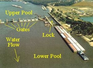
 NOTE: The UPPER POOL is the water on the upstream side (above) of the dam. The LOWER POOL is the water on the downstream side (below) of the dam. See the picture of Lock and Dam 21 at the right.
The amount of water flowing in the Mississippi River past Quincy is determined by the rainfall, snow melt and saturation of the ground north of us. Normally during the spring months we have more water flowing past us and at these times, the gates in the dam are adjusted to allow more flow, thus maintaining the upper pool level at 12 feet.
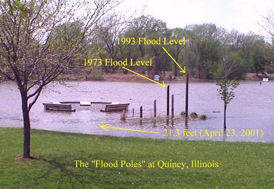
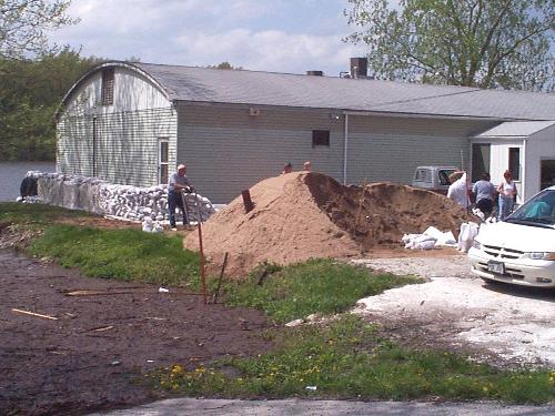
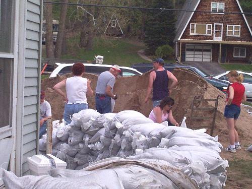
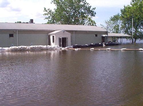
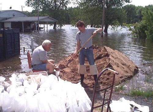
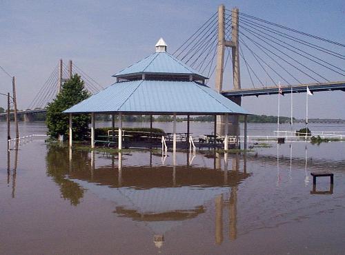
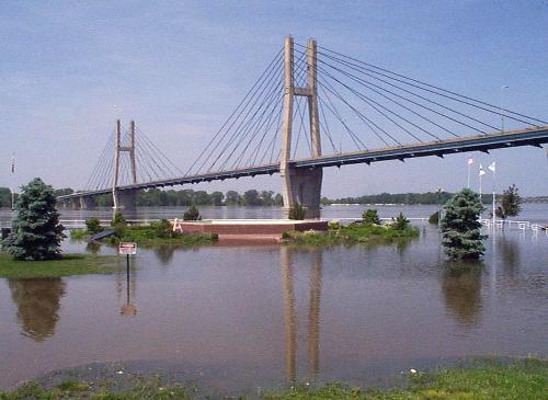
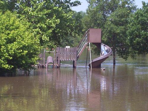
During the time when Mother Nature drops an enormous amount of rain north of us, or when She decides to "Raise the Thermostat" and melt all the snow at once, we get a water flow past Quincy that cannot be regulated by the dam. At that point, all the gates are completely opened and the dam no longer can regulate the water level in the upper pool. At this point, the upper pool level starts rising above the 12 foot level. As it increases, it may get to where it starts to go over most of the river banks and the islands. The point where this happens is called "FLOOD STAGE". Flood Stage at Quincy is 17 feet, or five feet above the normal river level.
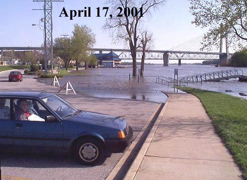
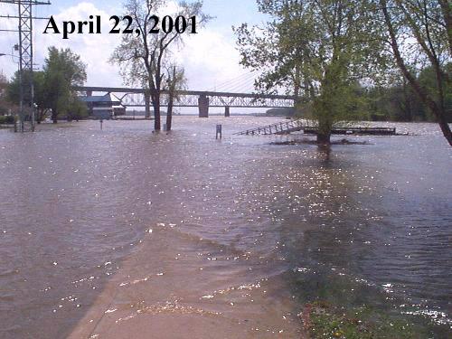
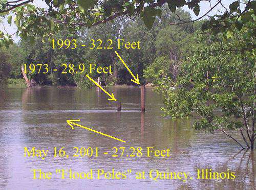
During the winter of 2000/2001, there was an enormous amount of snowfall on the ground in the states of Iowa, Minnesota and Wisconsin. When that snowfall started to melt in the spring of 2001, the water flow in the Mississippi River increased and the gates on most of the dams were opened to regulate their upper pools to a proper level. Then came the rains requiring the gates to be opened even more. Before too long, the gates were completely opened and the normal river levels started to rise.
In the late 1800s and early 1900s, there were no locks and dams on the river. Many people look at that fact and make the statement that the locks and dams have caused the higher flood stages we've had during the past 50 years or so. This is far from the truth! One thing that these people don't seem to realize is that the river wasn't hemmed in by many levees in the early days. At that time, during high water flow, the river could spread out over the complete river bottom land thus preventing the very high flood stages that we've seen during the past 50 years.