A Trip around "Quinsippi Island"
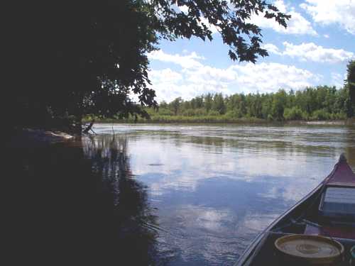
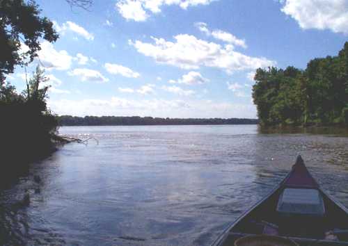
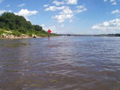
Way back in 1998, during the month of July, I took a camera along on a canoe trip around an island located in the Mississippi River right next to the city of Quincy. Believe it or not, this island is known as "Quinsippi Island" and is also known by some of the local folks around here as "Bay Island" due to it being located on the west side of Quincy bay.
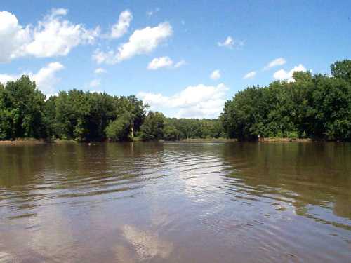
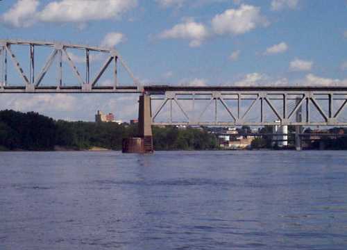
 Quincy bay is one of the larger natural bays on the Mississippi River and in the past has been the scene of many activities. During the mid to the late 1800s, many river boats docked here and were provided a safe haven from many of nature's hazards. River boats were the major method of transportation in those early years between the the cities located up and down the river. Even when the railroads and automobiles became more popular, river boats still were very active and provided for both passenger and freight transportation.
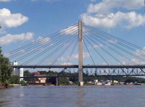
During World War II, Quincy Bay was very active. Many of the landing craft used during the war were built in Quincy Bay and then sent down "Ol Miss" to the many parts of the world where they were used by our armed forces. Large tugboats and barges still move a considerable amount of freight on the Mississippi between Minneapolis and the Gulf of Mexico. Several times during the summer season, sternwheelers such as the Delta Queen or Mississippi Queen may be seen on their passage by Quincy.
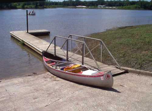
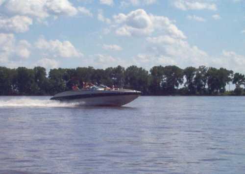
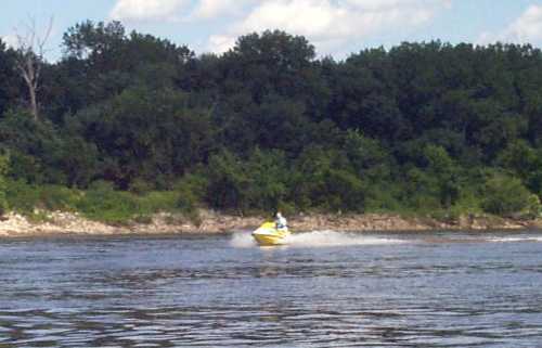
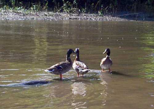
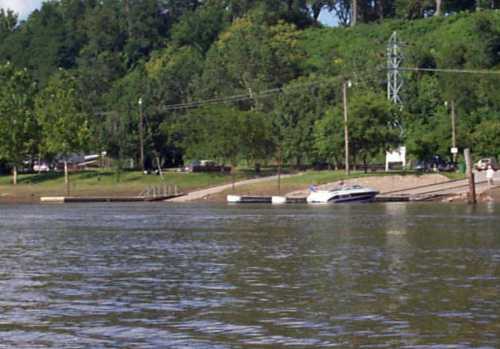
Boat activity in Quincy Bay now consists mainly of recreational boats. In fact the Quincy marina is located in a dredged out area (formerly a swamp) near the south end of Quinsippi Island. Sure there are a few commercial fishermen and some work boats moving in and out of Quincy Bay but they are in the minority.
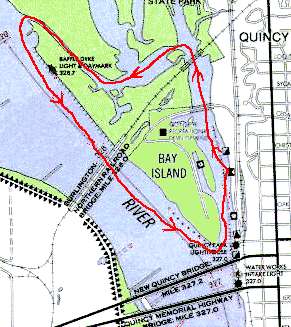
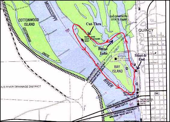
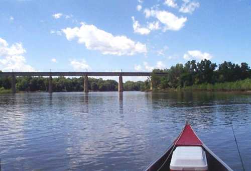
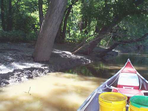
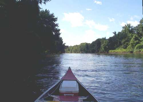
In the picture on this web page, note the red line I've drawn around the island. This is the route I took when I paddled around the island and it's about four miles in length. This short trip takes about an hour or two, depending on how much paddling you do, how much time you spend looking at the scenery and/or how much time you spend on the sand beaches. One note though; When you get out on "Ol Miss" and start moving down-river, it doesn't take much (if any) work to get to the foot (south end) of the island. My recommendation is to "Paddle Hard going North" and "Relax going South". Actually, during normal river stages, paddling north in "Ol' Man River" is really no problem because the river current is very slow. If you are paddling north during the higher river stages and seem to be getting nowhere, stay near the shore line where the current is the weakest. I don't recommend this for power boats because of the underwater stumps, wing dams and other obstructions.
Note:
For a larger map and more details, either click here or on the above graphic
| Glenn W. Glessner - Quincy, Illinois |
Web Page Created on April 15, 1999 - Updated on February 19, 2007 |
 Quincy bay is one of the larger natural bays on the Mississippi River and in the past has been the scene of many activities. During the mid to the late 1800s, many river boats docked here and were provided a safe haven from many of nature's hazards. River boats were the major method of transportation in those early years between the the cities located up and down the river. Even when the railroads and automobiles became more popular, river boats still were very active and provided for both passenger and freight transportation.